About Us
On the 6th July 2017, the First Open Source Geospatial Laboratory in the Pacific Islands region was initiated and it is located here at the University of Fiji, School of Science and Technology (SST). Our mission is to follow OSGeo/ICA Memorandum of Understanding by supporting development of open-source geospatial software technologies, training and expertise.
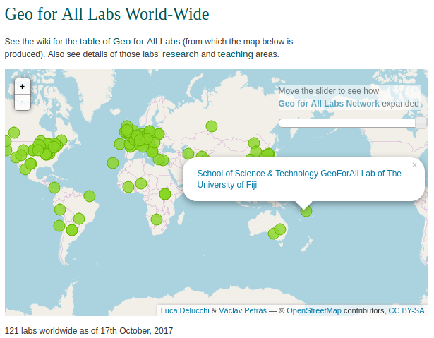
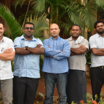
The lab will be maintained by the University’s Environmental Research Group (ERG) , supported by the Information Technology Services (ITS) team in collaboration with members of SST and connected members of the Pacific Chapter of OSGeo (PacOSGeo).
Our goal is to provide training, education and to support development of open source geospatial software as well as free geospatial data. We work to create opportunities for academia, industry and government in open source GIS to support OSGeo Labs mission “Making geospatial education and opportunities accessible to all”.
Find more on OSGeo Labs mission and resources.
OSGeo/ICA Memorandum of Understanding
The Open Source Geospatial Foundation (OSGeo) and the International Cartographic Association (ICA) have signed a Memorandum of Understanding for developing global open source GIS software and data collaborations for academic, industrial, and government organizations. The MoU aims to provide expertise and support for the establishment of Open Source Geospatial Laboratories and Research Centres across the world for development of open-source geospatial software technologies and training. Laboratories are being established in Asia, Europe, Africa, the Americas and Australasia which will act as nodes for future expansion of the worldwide network.
GeoForAll Team
![]()


